How Tides and Currents Affect Your Boating Experience
Discover how tides and currents impact boating, from navigation challenges to safety risks. Learn practical tips for safe coastal boating.
Boating on coastal waters offers adventure, freedom, and a chance to connect with nature. However, the dynamic interplay of tides and currents can significantly influence your experience, presenting both opportunities and challenges. From navigation and safety to docking and anchoring, understanding these natural forces is essential for a safe and enjoyable outing. This article explores the science of tides and currents, their effects on boating, and practical strategies to navigate them effectively.
The Science of Tides and Currents
Tides are the periodic rise and fall of sea levels driven by the gravitational forces of the moon and sun, combined with Earth’s rotation. The moon, being closer to Earth, exerts a stronger gravitational pull, making it the primary driver of tides. The sun also contributes, particularly during spring tides when the sun, moon, and Earth align, resulting in higher high tides and lower low tides. Conversely, neap tides occur during the moon’s first and third quarters, when the sun and moon are perpendicular, producing less extreme tidal ranges.
Currents, the horizontal movement of water, are influenced by tides, wind, temperature, salinity, and the Coriolis effect from Earth’s rotation. Tidal currents, specifically, arise from the vertical motion of tides, flowing toward the shore during flood tides and away during ebb tides. These currents vary in strength depending on the lunar phase, with stronger spring currents during full or new moons and weaker neap currents during quarter phases.
Most coastal areas experience two high tides and two low tides daily, known as semidiurnal tides, occurring roughly 12 hours and 25 minutes apart. Some regions, however, experience diurnal tides (one high and one low tide per day) or mixed tides with varying heights. Understanding these patterns is critical for boaters to anticipate changes in water depth and current strength.
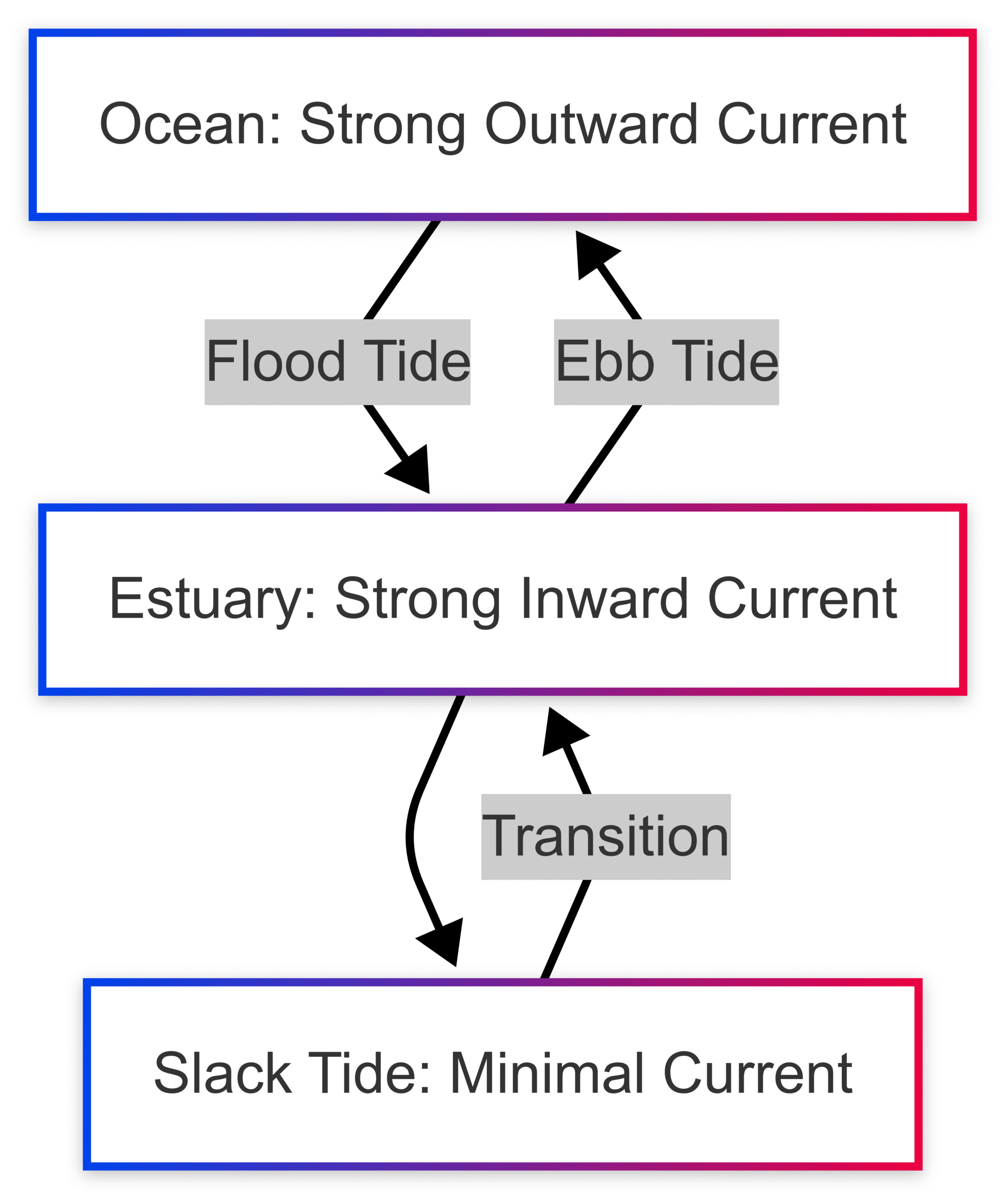
Mermaid Chart: Tidal Cycle

How Tides and Currents Impact Boating
Tides and currents affect nearly every aspect of boating, from navigation to safety. Below, we explore their key impacts and provide practical insights for boaters.
1. Water Depth and Navigation
Tides cause significant fluctuations in water levels, which can alter the accessibility of channels, harbors, and bays. During high tide, deeper water allows easier navigation, but low tide can expose hazards like sandbars, rocks, or shoals, increasing the risk of grounding. For example, in areas with large tidal ranges—sometimes exceeding 10 meters—shallow areas may become impassable at low tide.
Tidal currents further complicate navigation. Strong currents can push boats off course, reduce speed when moving against them, or increase speed when riding with them. In narrow channels or around headlands, currents can intensify, making steering more challenging. Boaters must plan routes based on tide and current predictions to avoid hazardous areas and optimize transit times.
Table: Tidal Range Examples
| Location | Average Tidal Range | Navigation Considerations |
|---|---|---|
| Bay of Fundy, Canada | Up to 16 meters | Extreme caution; plan for high/low tide timing |
| San Francisco Bay | 1.5–2.5 meters | Moderate range; monitor shallow areas |
| Gulf of Mexico | 0.5–1 meter | Minimal range; focus on currents |
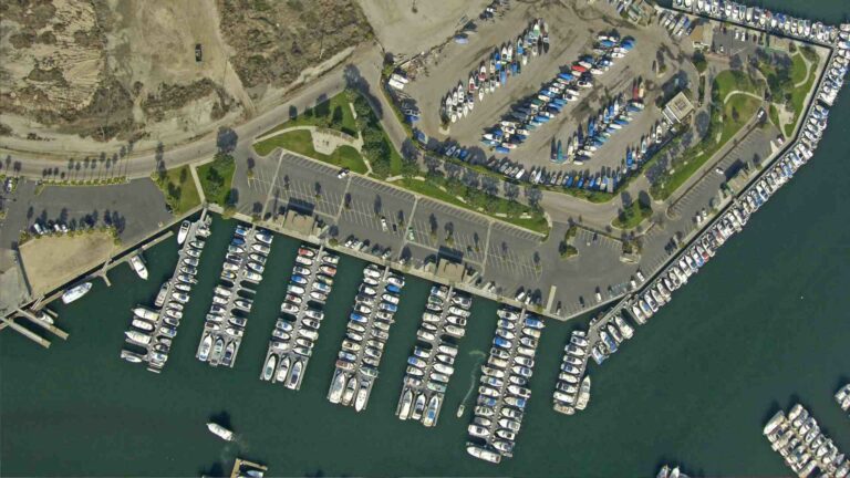
2. Docking and Anchoring
Docking and anchoring require careful consideration of tidal conditions. High tides provide more water depth, reducing the risk of grounding but potentially complicating access to docks due to increased water movement. Low tides, conversely, may make docks inaccessible or expose underwater obstacles, increasing the risk of damage. Slack tides, the brief period of minimal current between flood and ebb tides, are ideal for docking due to reduced water movement.
Anchoring also depends on tidal range. The anchor rode (line) must account for the maximum water depth at high tide to prevent dragging as the tide rises. Conversely, too much rode at low tide can cause the boat to drift excessively. Boaters should use tide charts to calculate the appropriate rode length, typically 5–7 times the maximum water depth.
Example Calculation: Anchor Rode Length
- Water depth at high tide: 3 meters
- Desired scope (rode-to-depth ratio): 7:1
- Rode length needed: 3 × 7 = 21 meters
3. Fuel Efficiency and Transit Times
Navigating with favorable tidal currents can significantly improve fuel efficiency and reduce transit times. For instance, a boat traveling with a 2-knot current may achieve the same speed with less engine power, saving fuel. Conversely, fighting a strong current increases fuel consumption and extends travel time. By timing trips to coincide with favorable currents, boaters can optimize efficiency.
Example: Fuel Savings with Tidal Currents
- Boat speed without current: 10 knots
- Fuel consumption: 20 liters/hour
- With 2-knot favorable current: Effective speed = 12 knots, same fuel use
- Against 2-knot current: Effective speed = 8 knots, increased fuel use
4. Safety Risks
Tides and currents pose several safety risks:
- Unexpected Depth Changes: Rapidly falling tides can strand boats on sandbars or expose submerged hazards, risking hull damage or capsizing.
- Strong Currents: Tidal currents in narrow channels or estuaries can overwhelm smaller vessels, making steering difficult and increasing collision risks.
- Weather Interactions: Storms or strong winds can amplify tidal effects, causing storm surges that elevate water levels and create rough seas. For example, a storm surge in a hurricane-prone area can raise tides by several meters, creating hazardous conditions.
Boaters must monitor tide predictions, weather forecasts, and local conditions to mitigate these risks. Carrying navigational tools like GPS and depth sounders is essential for real-time monitoring.
5. Fishing and Marine Life
Tides influence fish behavior, as many species are more active during tidal changes when currents stir up prey. For example, predatory fish like striped bass feed aggressively during flood tides. Boaters targeting specific species should consult tide charts to time their trips for optimal fishing conditions.
Tides also support coastal ecosystems by delivering nutrients and oxygen to intertidal zones, fostering diverse habitats like tide pools. Boaters should navigate carefully to avoid disturbing these fragile environments, such as by avoiding anchoring in sensitive areas like seagrass beds.
Navigational Challenges of Tides and Currents
Impact on Boat Control
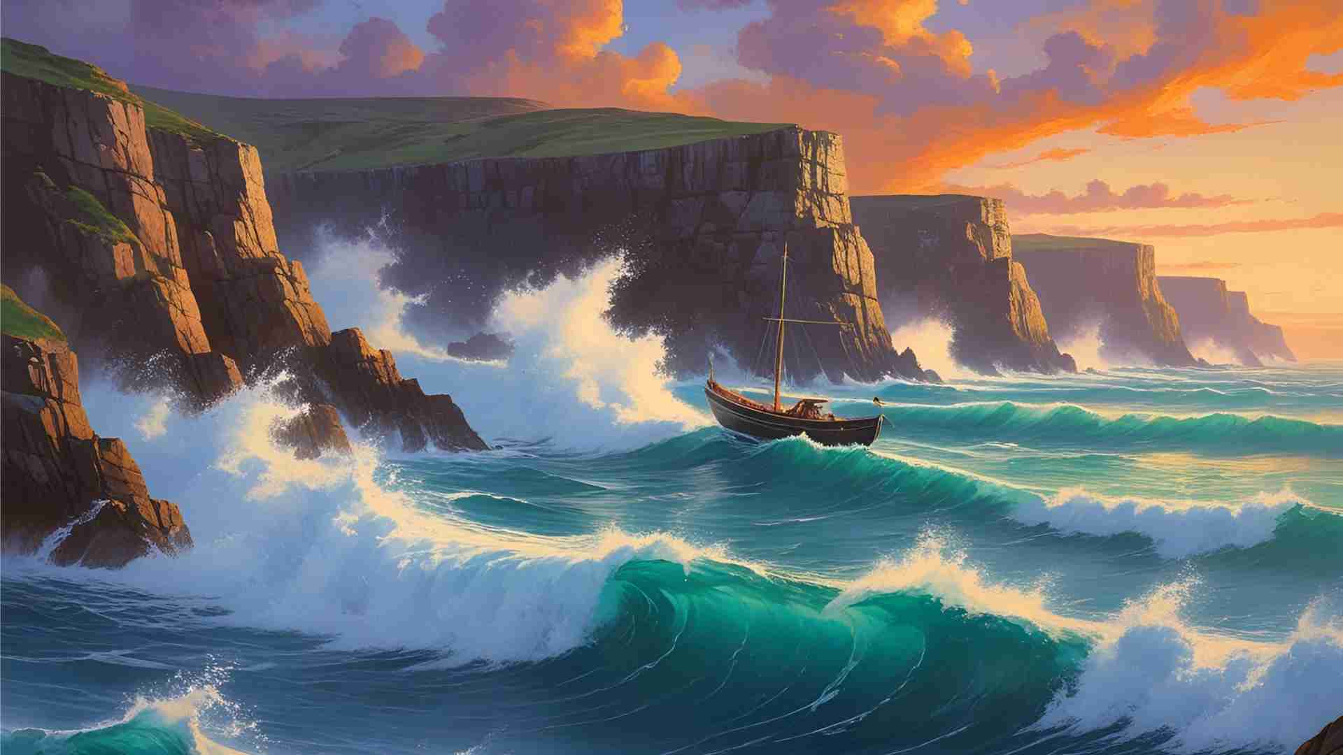
Tidal currents can significantly affect boat handling. An outgoing (ebb) tide creates strong currents that push against the boat, making it harder to maintain course or speed. For example, a 3-knot ebb current can reduce a boat’s effective speed by 30% if traveling at 10 knots. Conversely, an incoming (flood) tide can accelerate the boat, requiring careful speed adjustments to avoid collisions in crowded areas.
The changing water levels also impact stability. Smaller vessels, with less draft, are more susceptible to capsizing in strong currents or during rapid tidal shifts. Boaters should reduce speed and maintain a firm grip on the helm in turbulent conditions.
Planning Routes with Tidal Currents
Effective route planning requires understanding tidal current patterns. Current maps and atlases provide detailed information on current direction and strength at different times. For example, in estuaries, currents may be amplified due to the constriction of water flow, requiring precise timing to navigate safely.
Mermaid Chart: Tidal Current Flow in an Estuary
Boaters can use apps like Navionics or PredictWind to access real-time current data, ensuring they time their passages to avoid opposing currents or hazardous areas.
Safety Measures for Boating in Tidal Waters
Consulting Tidal Predictions
Tide charts and tables are indispensable for planning safe boating trips. These resources provide predicted times and heights of high and low tides, allowing boaters to schedule departures and arrivals for optimal conditions. For example, launching or docking at high tide ensures sufficient water depth, while avoiding low tide minimizes grounding risks.
Online platforms like NOAA Tides & Currents or mobile apps provide accurate, location-specific predictions. Boaters should cross-reference these with local knowledge, as geographical features like narrow inlets can amplify tidal effects.
Essential Equipment and Practices
To navigate tidal waters safely, boaters should:
- Use Navigational Tools: Marine GPS, chartplotters, and depth sounders provide real-time data on water depth and position.
- Maintain Safe Speeds: Slow down in strong currents or shallow areas to allow time to react to hazards.
- Carry Communication Devices: VHF radios ensure you can call for assistance in emergencies.
- Monitor Weather: Check forecasts for storms or high winds that could exacerbate tidal effects.
- Keep a Lookout: Watch for visual cues like buoys or rippling water to gauge current strength and direction.
Table: Essential Boating Equipment for Tidal Navigation
| Equipment | Purpose | Example Product | Approx. Price (USD) |
|---|---|---|---|
| Marine GPS | Real-time positioning and tide data | Garmin Striker 4 | $120–$150 |
| Depth Sounder | Monitor water depth | Humminbird Helix 5 | $250–$300 |
| VHF Radio | Emergency communication | Standard Horizon GX1400 | $100–$130 |
| Tide Chart App | Access tide predictions | Navionics Boating App | Free–$50/year |
Environmental Awareness
Tides shape coastal ecosystems, creating habitats like estuaries and tidal flats that support diverse marine life. Boaters should minimize their environmental impact by:
- Avoiding anchoring in sensitive areas like coral reefs or seagrass beds.
- Reducing speed near shorelines to prevent wake damage to habitats.
- Properly disposing of waste to protect water quality.
Practical Tips for Boating in Tidal Waters
- Plan Around Tides: Schedule trips to align with high or slack tides for easier launching, docking, and navigation.
- Check Local Conditions: Research areas with strong tidal currents, such as tidal rapids or narrow straits, and avoid them during peak flow.
- Use Technology: Leverage apps and chartplotters for real-time tide and current data.
- Practice Anchoring Techniques: Use a scope of 5–7:1 for anchoring, adjusting for tidal range.
- Stay Vigilant: Monitor water depth and currents continuously, especially in unfamiliar waters.
Tides and Coastal Ecosystems
Tides play a critical role in shaping coastal environments. They deliver nutrients to intertidal zones, supporting marine life like crabs, mussels, and algae. Tidal currents also erode and deposit sediment, shaping coastlines, estuaries, and barrier islands. For example, tidal inlets facilitate water exchange in bays, sustaining species that rely on these cycles.
Boaters should respect these ecosystems by navigating responsibly and avoiding activities that disrupt natural processes, such as excessive wake or pollution.
Conclusion
Tides and currents are powerful forces that shape every coastal boating experience. By understanding their science, anticipating their effects, and using the right tools and strategies, boaters can navigate safely and efficiently. Whether you’re cruising, fishing, or docking, planning around tides and currents enhances safety, saves fuel, and protects the environment. Before your next adventure, consult tide charts, check weather forecasts, and equip your vessel for the dynamic conditions of coastal waters. With preparation and awareness, you’ll enjoy a safer, more rewarding time on the water.
Happy Boating!
Share How Tides and Currents Affect Your Boating Experience with your friends and leave a comment below with your thoughts.
Read How do you find fish on a fish finder? until we meet in the next article.